From Map to Masterpiece
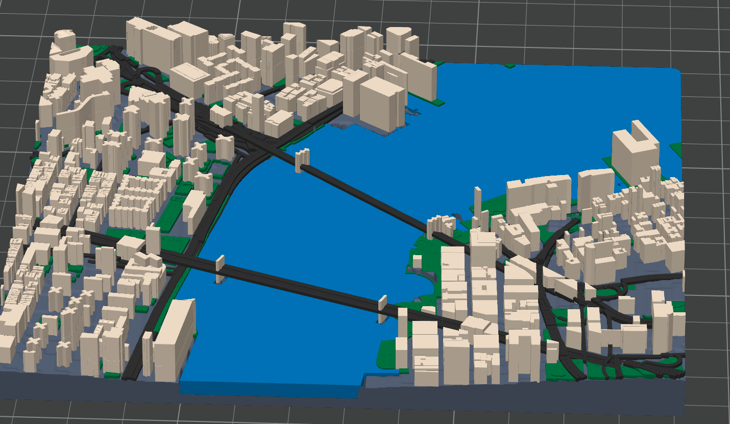
Select any location on Earth and transform it into a physical work of art. Our advanced algorithms process OpenStreetMap data to create detailed, print-ready files with accurate elevations and terrain features.
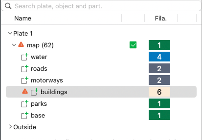
Multi-Layer Export
Separate water, roads, and buildings
Separate water, roads, and buildings
3D Print Ready
STL, 3MF with multi-material support
STL, 3MF with multi-material support
Elevation Data
Real terrain heights from satellite data
Real terrain heights from satellite data